Description
Brief description
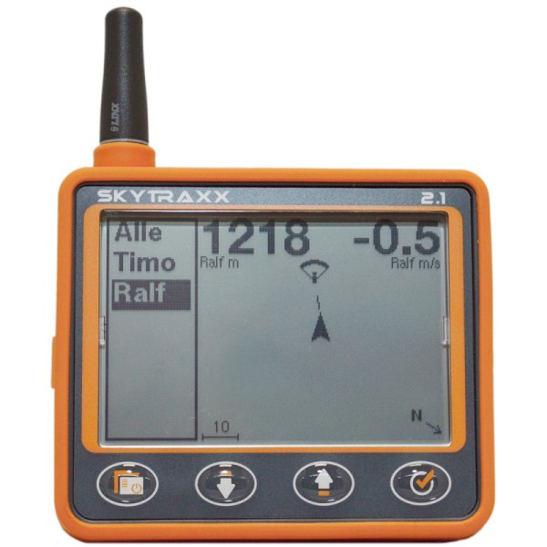
- The SKYTRAXX 2.1 is the further development of the proven Skytraxx 2.0
- Compact size with silicone protective cover
- Very easy-to-use hightec Vario with high-precision sensor resolution <5cm
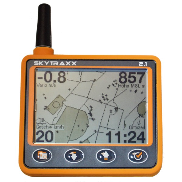
- Integrated obstacle database with appropriate warning when approaching
- Voice output
- Altimeter barometrically calibrated via GPS to 9999m
- Variometer with very sensitive response time (<0.5 seconds)
- The Variovert is read 60 times per second and averaged
- Compact device with integrated GNSS and logger
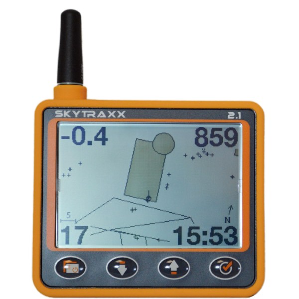
- Large graphics display with grayscale and best contrast in direct sunlight
- 8 GigaByte Memory
- Runtime > 40 hours
- Thermal assistent
- Hike mode with GPX import and export functionality. Reading in a traveling route via e.g. GPSies or Hike & Fly is very easy
- FANET and FLARM integrated (optionally the Skytraxx 2.1 can be ordered without this function)
- Livetracking via OGN Stations without any fees. Glidernet or LiveTrack24 can be used
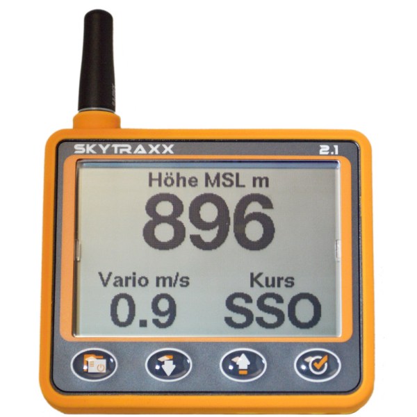
- 4 user-definable fields on each page
- USB-C interface
- No external software necessary
- Languages: German, English and French
- Windows, Linux and MAC compatible
- Optimal for use in DHV-XC (OLC).
- WIFI integrated
Display options
- MSL, QNE, QFE, Flightlevel, Glide ratio, Local Time, UTC-Time, Flight Time, Speed, XC-Points, XC-Distance, XC-Typ, XC-Speed
- Units can be set separately for altitude, distances, climb rate
- Automatic setting of Summer and Wintertime
- Several pilot profiles
- FANET datas to the following: distance, course, altitude, climb rate, speed
- FANET ground stations can send wind direction and wind force
- In Hike mode, there are other displays such: Altitude difference or remaining distance
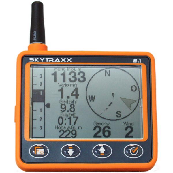
- AGL (Height above Ground)
- Vario digital and analog
- Winddirection and Windspeed
- Thermal display with track and Thermal assistent
- Charge indicator
- GNSS reception indicator
- Coordinate display in different formats
- QNH pressure indicator
- Fully automatic FAI assistant, graphic help to fly a FAI triangle with the best possible points
- 3D airspace warning with indication of the direction to the fastest exit
- Firmware update, airspace update without additional software, also possible via WIFI
Technical specifications
- 8 GB Memory
- Display 240 x 160 3,2″
- Runtime > 40 hours
- WiFi
- Dimensions 90 x 114 x 20mm
- USB-C interface
- Weight 150 Gramm


